





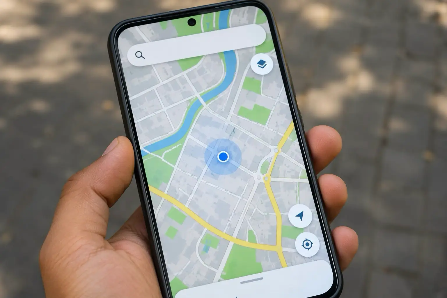
A blue dot on a map feels like magic, but it comes from timing signals, atomic clocks and a correction that Einstein would recognise
Open a maps app in a rickshaw and a blue dot appears in seconds, sitting on the right lane of the right road. Nothing is sent to the satellites overhead. They never learn you exist. Your phone is only listening, and the whole trick is a calculation about time.
A One-Way Conversation
Navigation satellites orbit roughly 20,000 kilometres above the Earth and broadcast a steady stream of messages. Each message carries two things: the satellite’s exact position and the exact moment it sent the signal. Your phone records when the message arrives. The gap between sending and receiving, multiplied by the speed of light, gives the distance to that satellite. Because the satellites only transmit, any number of phones can use them at once without crowding the system.
Why Three Distances Are Not Enough
One distance tells the phone it lies somewhere on a giant sphere around a satellite. A second distance narrows that to a circle where two spheres meet. A third reduces it to two possible points, and one of those is usually far out in space, so it can be discarded. In theory, three satellites would be enough. In practice, a phone needs four, because of a problem with its own clock.
The Fourth Satellite Fixes the Phone’s Clock
Satellites carry atomic clocks that stay accurate to billionths of a second. Phones carry cheap clocks that drift. The trouble is that light travels about 300 metres in a single millionth of a second, so even a tiny timing error on the phone throws the distance wildly off. Using a fourth satellite gives the receiver an extra equation, which lets it solve for the time error as well as the position. The phone effectively corrects its own clock every time it works out where it is.
Einstein Is Built Into the System
The satellites’ clocks have a second problem that comes straight from relativity. Because the satellites move fast, time on board runs slightly slow, and because gravity is weaker so far above the ground, it runs slightly fast. The second effect wins, so a satellite clock gains roughly 38 millionths of a second every day compared with a clock on the ground. Left alone, that would stack up to errors of more than ten kilometres daily. Engineers correct for it before launch, by setting the clocks to tick slightly slower than their nominal rate.
Where the Dot Wanders
The dot is usually accurate to a few metres in open sky, but tall buildings and narrow lanes spoil it. Signals bounce off walls before reaching the phone, which makes the satellite look farther away than it is, an effect called multipath. That is why the dot jumps across a street in a crowded market. To speed things up, phones also use the mobile network and nearby Wi-Fi to guess a starting location, which is why the first fix often comes quicker indoors than the satellites alone could manage.
India’s Own Constellation
Most phones draw on several systems at once, including the American GPS, Russia’s GLONASS, Europe’s Galileo and China’s BeiDou. India operates its own, called NavIC, run by ISRO. The first satellite of the system went up in 2013. NavIC is regional, designed to cover India and an area extending roughly 1,500 kilometres beyond its borders, with most of its satellites placed in orbits that keep them over the region. The strategic argument for it, officials have often said, is independence from foreign systems, with the 1999 Kargil conflict frequently cited as the motivation. A growing number of phones now support NavIC signals, though how many depends on the chip inside the device.
The Takeaway
The next time a delivery app shows a rider approaching, remember what is happening. Four or more satellites are broadcasting the time, a chip is comparing arrival moments, and a correction for relativity is quietly keeping the whole thing from drifting miles off course. All of it fits in the corner of a phone.